For centuries, the area where Vianen is now located was almost uninhabitable. It was a so-called ‘wasteland’: an almost impenetrable peat bog. In all probability, this changed in the course of the 11th Century. At that time, both the Bishops of Utrecht and the Counts of Holland released unmanaged and uncultivated areas for exploitation. This transfer was also known as a cope.
While sources are lacking, it’s very likely that the reclamations at Vianen were conducted by monks from St. Laurentius Abbey in Oostbroek. The heavy work suited the very strict discipline of the abbey. A number of monks settled in the higher district of Helsdingen for this work.
The area around Vianen was opene…
For centuries, the area where Vianen is now located was almost uninhabitable. It was a so-called ‘wasteland’: an almost impenetrable peat bog. In all probability, this changed in the course of the 11th Century. At that time, both the Bishops of Utrecht and the Counts of Holland released unmanaged and uncultivated areas for exploitation. This transfer was also known as a cope.
While sources are lacking, it’s very likely that the reclamations at Vianen were conducted by monks from St. Laurentius Abbey in Oostbroek. The heavy work suited the very strict discipline of the abbey. A number of monks settled in the higher district of Helsdingen for this work.
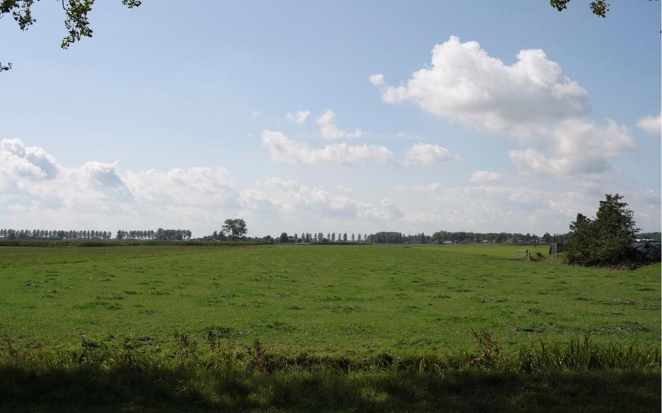
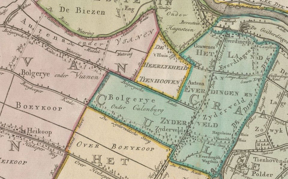
The area around Vianen was opened up between the 11th and 13th Centuries. The flat peat in this region made dewatering difficult. At the same time, standard lot sizes could easily be used because people were not dependent on natural relief. A lot measured around 115 x 1,250 metres. Many place names, such as Hei- en Boeicop, refer directly to cope reclamation. Other names, such as Zijderveld, were derived from the dikes and drainage in the reclamation.
Further reading: Helsdingen district, Helsdingen Chapel, Lek dike, Zijderveldselaan, De Biezen pumping station, Willow landscape and the Bolgarian forest.